Galigeo Training
Create Meaningful Geomaps with Galigeo For SAP Web Intelligence – Intermediate
A software is useless if you don’t know how to use it.
At Galigeo, we are committed to help you harness the true value of our solutions. This training on Galigeo For SAP Web Intelligence is no exception, and tackles the subject from two angles: understanding and know-how.
With this training, you will master Location Analytics and Geomapping within the SAP Web Intelligence environment, and will be able to deliver this added value for your business.
Training Content
This training includes both theoretical and practical parts.
The prerequisite for the trainees is to have good knowledge in the SAP Web Intelligence tool, creation of queries, as well as the BI Launchpad.
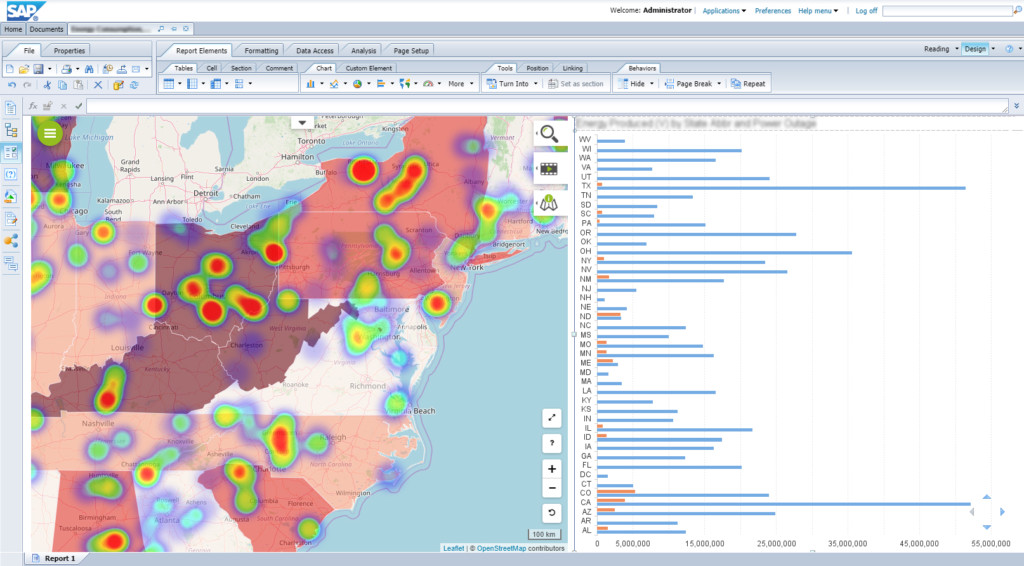
Geomapping Concepts
- Discovery of the Galigeo Software
- How to adapt BO queries to geomapping needs
- Major steps to make a document “cartographic”
- What is a geomapping identifier
- What are X and Y coordinates
- Geomapping Representations
- General presentation of the Galigeo interface
- What is a layer and how to create/manage it
- Types of existing layer representations and their usefulness
- Classification methods
- Geospatial Analysis
- Picking the right basemap for your needs
- Make a spatial selection according to different criteria
- Animate your geomap according to a time dimension
- Annotate your geomap for story-telling and insights communication
- Print your geomap or all of your report
- Settings
- What are a tooltip and info-window, and how to configure them
- How to create an interaction between a geomap and other graphic component in your SAP document
- How to create an interaction between a geomap and another document using the OpenDocument capability
- How to define space filters
- …
Hands-on Session
Participants will put the theoretical content into practice, by creating their first geomaps, using a dedicated SAP BI platform, made available to them during the training.
This training in figures
Note : Due to coronavirus outbreak, this training can only be delivered remotely for the time being.
16 hours
Divided into 2 days, consecutive or not.
Between 1 and 4 trainees
From 18 to 108 years old!
Starting at 350$
On site or remotely
The training is performed by one of our expert trainers.
Who should attend?
This training includes multiple rich and informative contents, as well as practical sessions.
Trainees will receive a training certificate and a summary document of the addressed topics at the end of the training.

Project Manager & SAP BI Analyst
For employees responsible for creating Business Intelligence reports on the SAP BI platform and the Web Intelligence tool.
But also for those wishing to offer more wealth, depth, and added value in the reports they create.

Business User
For employees seeking to leverage specific business use cases, requiring the use of location data and geomapping.
Acquire new BI skills in three simple steps
I book my training course
I participate to the training
My collaborators and I acquire new skills, to bring more to our company.
I deliver more value-added
I can create meaningful geomaps in my reports, and leverage Location Analytics to face your location-related challenges.
Book this training for you and your team now and get a tailored quote
Fill out the form below to get your training course.
We will get back to you very soon for details.
Training Course: Create Meaningful Geomaps with Galigeo For SAP Web Intelligence
Still wondering if this training is suitable for your needs?
Do not miss this chance to train, and contact our experts.