What are the must-ask questions before embarking on any geospatial decision-making project? How can you be sure you’re starting off from solid foundations?
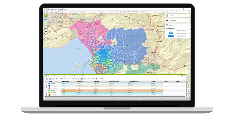
There’s no longer any doubt at all: all organisations are now convinced of the value added of spatial analysis or geospatial decision-making. It is both an essential communications instrument and an information tool for decision-making in all business sectors. So, how do you successfully set up a geospatial decision-making project? You have to start by asking the right questions.
1. What do you want to map?
That seems a simple enough question, so much so that we often forget to ask it before creating a map. Data warehouses which collect all sorts of information on behalf of a company are full of spatial data. Theoretical sorting is necessary in order to clearly define what will be useful or not for map-making purposes.
2. Who are these maps intended for?
It is essential to know who the future users of the maps will be. Based on this, their requirements may vary and the tools will need to adopt a particular level of specialisation. Bear in mind that it is the end users who will breathe life into the actual maps. Forgetting them in the creation process will definitely lead to failure of the technology.
3. With what tool?
If questions about the tool are often the first ones we ask, they should also be the last ones too. In fact, questions about the tool pop up again once the solution has been implemented in order to check that all characteristics about the environment, data base and others aspects have been properly taken into account.
>>> To find out more, please download our white paper ‘How to implement location analytics’